
.avif)
Find & Read
No items found.
.svg)
Bio
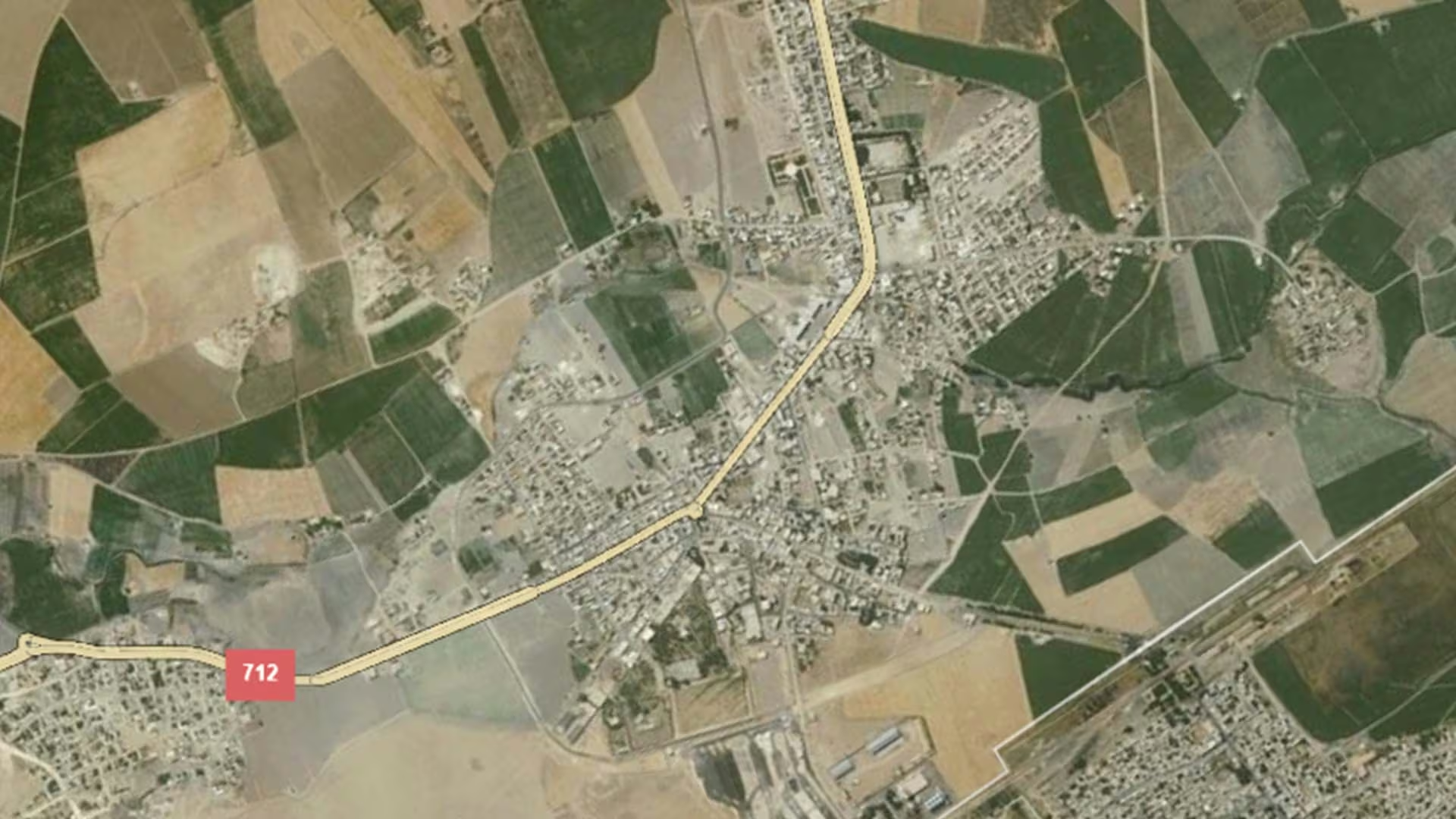
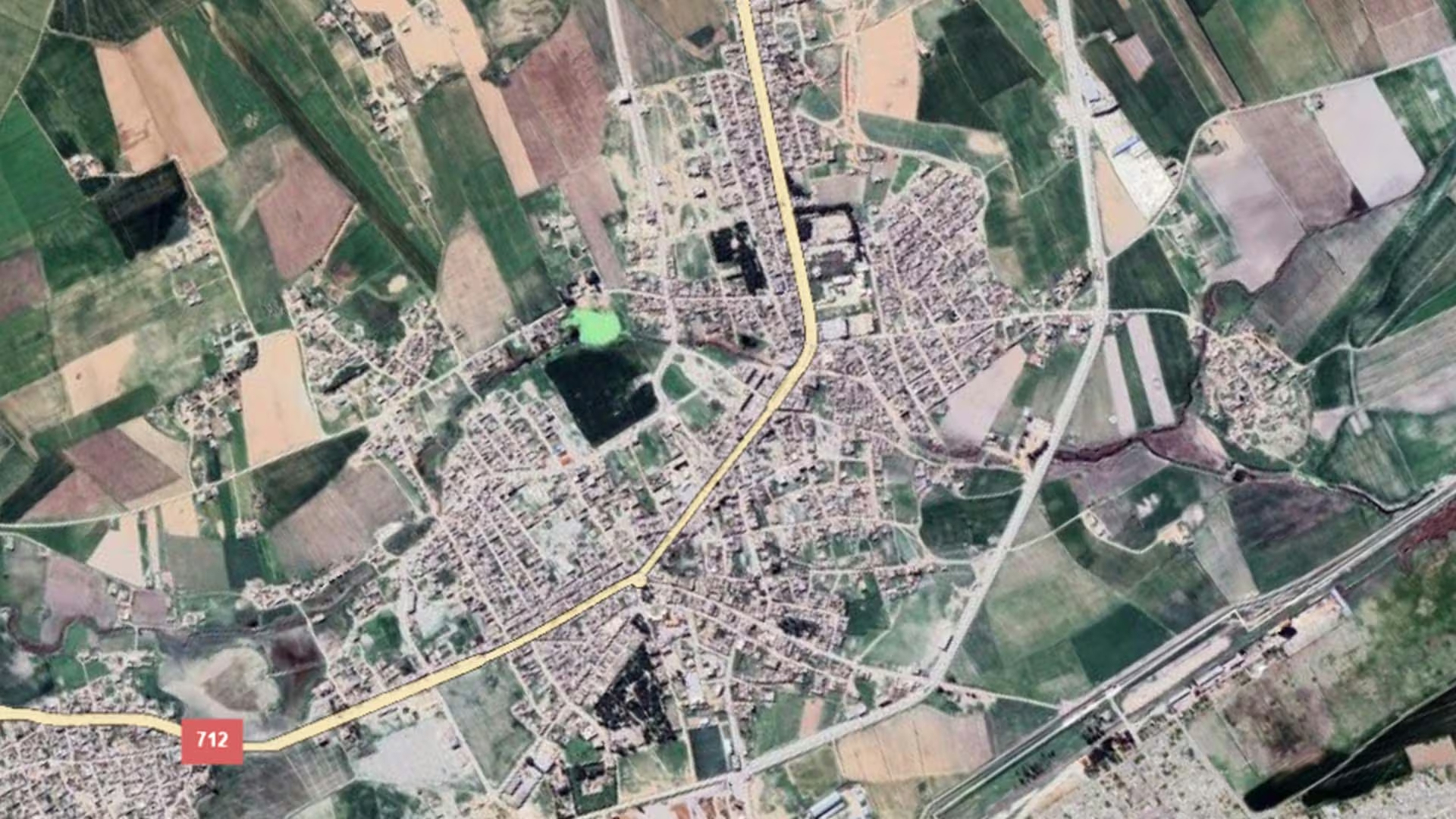
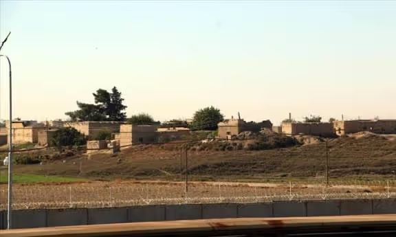
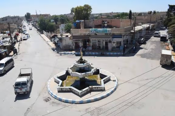
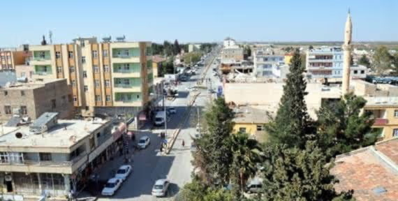
Tal Abyad lies in the far north of Ar-Raqqa Governorate, at the head of the Balikh river plain on Syria's northern frontier. It is the administrative centre of Tell Abyad District, one of the districts recorded for the governorate in the United Nations subnational administrative boundary data for Syria, and it sits directly on an overland crossing point — a position that has long given the town its role as a market and transit centre for the countryside around it.
That countryside is farming land. Cereals, cotton and livestock have formed the backbone of the local economy, with the town acting as the collection and trading point where produce from the surrounding plain reaches wider markets. The Balikh valley running south from the town is also one of the more densely settled archaeological landscapes of northern Syria, its low tells marking successive layers of settlement along the river.
Damages
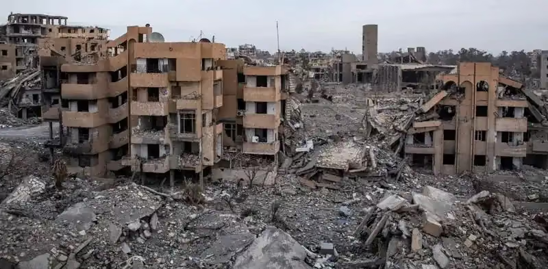
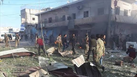
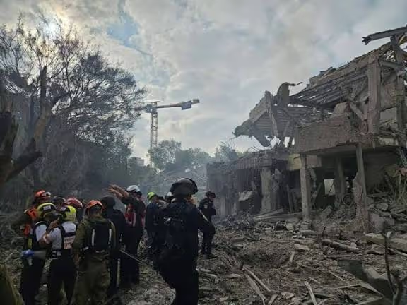
No damage assessment specific to Tal Abyad has been published by an institutional source that we were able to verify. The figures below are therefore governorate-level and are presented as such: they describe Ar-Raqqa Governorate as a whole, not the town.
The World Bank's report The Syrian Conflict: Physical Damage and Reconstruction Assessment (2011–2024), published in August 2025, puts direct physical damage to Syria's infrastructure and buildings at US$108 billion, and gives a best estimate of US$216 billion for the cost of reconstruction. Within that assessment, Ar-Raqqa is named among the governorates with the highest rates of infrastructure damage, at 61.1 per cent of the governorate's infrastructure assets.
The same report also records measurable rebuilding. It estimates that roughly 37.5 per cent of Raqqa's damaged asset value had already been reconstructed by 31 December 2024 — the highest reconstructed share it records for any Syrian governorate.
.svg)

.png)