
.avif)
Find & Read
No items found.
.avif)
.avif)
.avif)
.avif)
.avif)
.avif)
.svg)
Bio
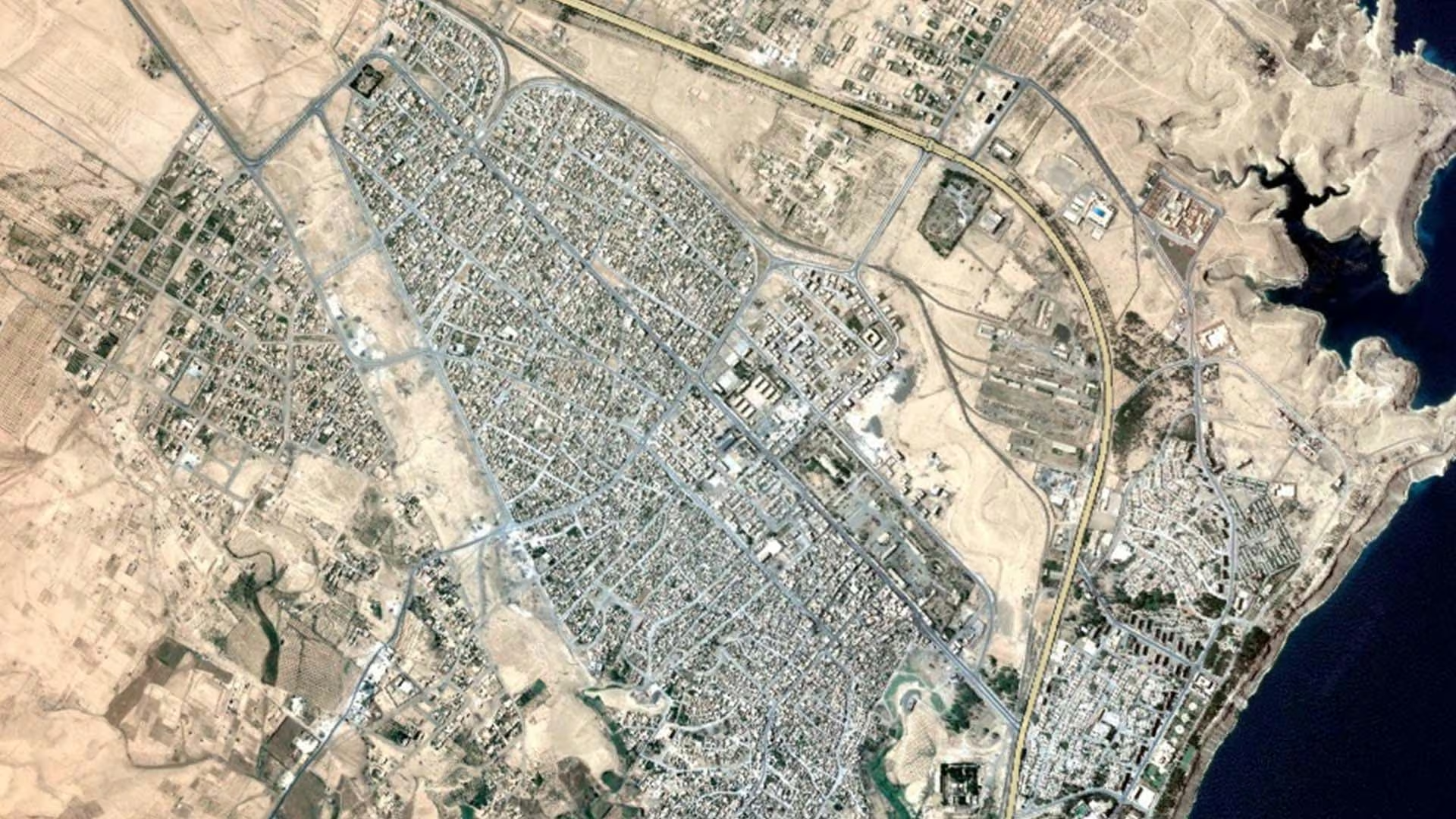
Tabqa, officially Al-Thawrah, stands on the right bank of the Euphrates in Ar-Raqqa governorate, a short distance upstream from Raqqa city. The Syrian Cities Damage Atlas produced by REACH with UNITAR-UNOSAT (2019) places its population at an estimated 82,000 inhabitants as of December 2015, and describes the city as economically significant because of the Tabqa oil field and the Tabqa Dam that sit beside it.
What distinguishes Tabqa is the concentration of energy, water and agricultural assets in one place. The same atlas records the Tabqa Dam as the largest hydroelectric dam providing electricity in Syria; its reservoir, Lake Assad, borders the city to the west and feeds irrigation and water supply across the surrounding plain. The urban fabric itself is compact and clearly ordered, mapped by REACH and UNOSAT as the First, Second and Third Neighbourhoods alongside Western and Eastern Maqasm, Soq, Mssaher, Gornata, Al Raefdeen, Al Bhaera, Zoeqat, Askandareh and Aed.
Damages
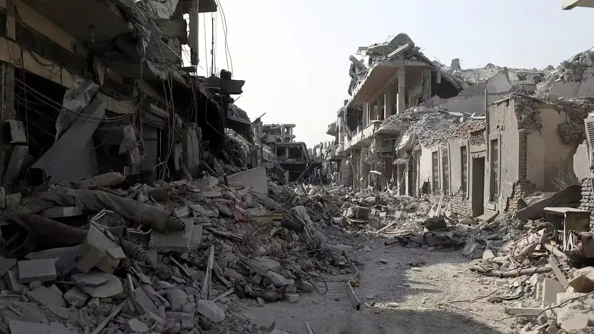
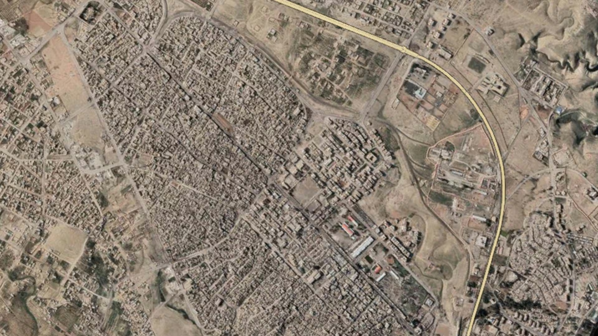
The most detailed institutional measurement available for the city comes from satellite analysis carried out by UNITAR-UNOSAT on 6 August 2018 and published by REACH in the Syrian Cities Damage Atlas (2019). It records 487 buildings damaged or destroyed in Tabqa, divided into 207 destroyed, 128 with severe damage and 152 with moderate damage.
Read against the sixteen towns and cities covered by the same atlas, that figure is at the low end of the range. REACH and UNOSAT note that damage in Tabqa is generally lower than in many of the other assessed cities, averaging fewer than one damaged building per hectare, and that the First Neighbourhood in the north is the most affected at 1.6 damaged buildings per hectare, with the eastern and western neighbourhoods lower still.
No reconstruction programme specific to Tabqa appears in the open institutional sources consulted. The clearest recent indication that the city's core infrastructure remains in service is a UNFPA flash update (June 2026) that records water releases from the Tabqa Dam, confirming the facility is operating. It should be noted that the building-level damage count above dates from 2018 and has not been repeated since, so the current picture on the ground may differ.
.svg)

.png)