.avif)
Find & Read
No items found.
.svg)
Bio
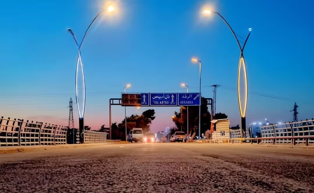
The New Bridge at Ar-Raqqa is one of the road crossings that carry traffic over the Euphrates at Ar-Raqqa city, the administrative and economic centre of Ar-Raqqa Governorate in northern Syria. According to OCHA's Ar-Raqqa Governorate Profile (June 2026), the governorate lies along the Euphrates, borders Al-Hasakeh, Deir ez-Zor, Aleppo and Hama, covers 17,163 km², and had an estimated population of around 900,000 to 950,000 before 2011, with an economy largely based on agriculture, livestock and limited industrial activity. REACH and UNOSAT, in their April 2021 assessment, put the population of Ar-Raqqa city itself at an estimated 300,000 in late 2016.
What gives a crossing here its weight is the position of the governorate itself. OCHA (June 2026) describes Ar-Raqqa as a major wheat-producing region, home to the Tabaqa Dam and its associated hydropower infrastructure, and a transit corridor linking eastern and northern Syria. The river divides that corridor in two: the city and its administrative functions sit on the northern bank, while the agricultural countryside and the road towards Tabqa lie to the south, so the bridges are the point at which the governorate's freight, farm produce and services actually move.
Damages
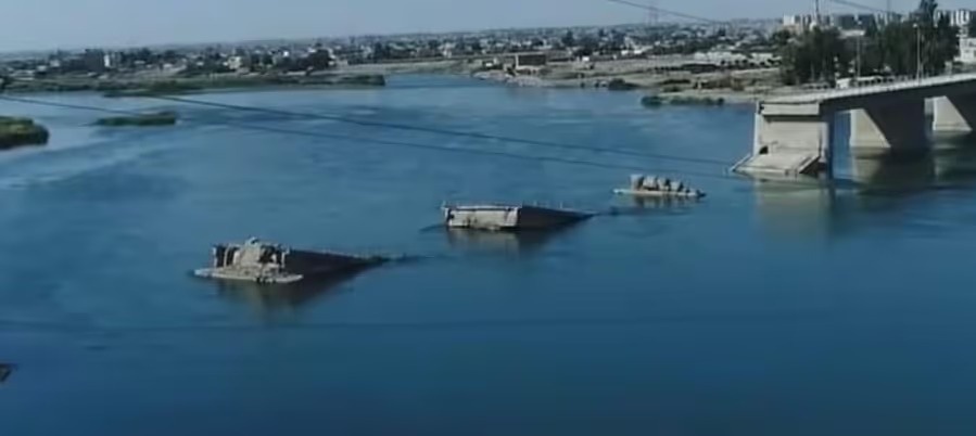
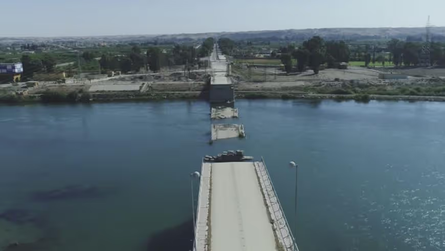
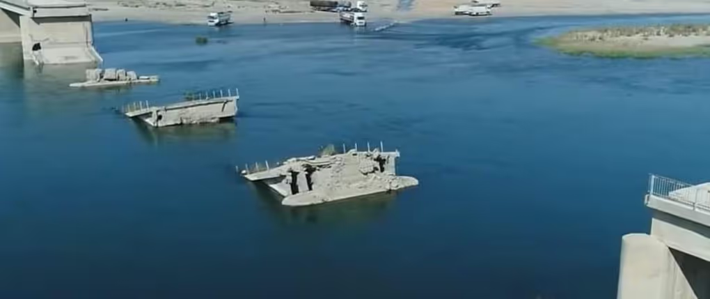
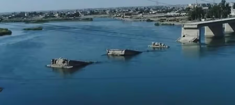
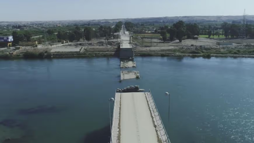
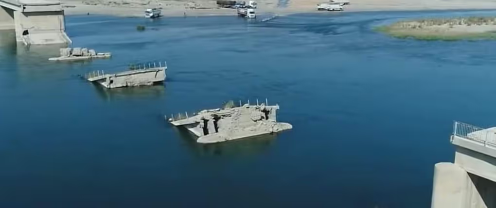
OCHA's Ar-Raqqa Governorate Profile (June 2026) records that critical infrastructure in the governorate — including water networks, bridges, and the areas surrounding the Tabaqa Dam — sustained extensive damage, and states that damage to roads, bridges and water systems continues to affect mobility and service delivery.
At governorate scale, the World Bank's Syria Physical Damage and Reconstruction Assessment 2011–2024 (published 21 October 2025) puts infrastructure damage in Ar-Raqqa at 40.3 per cent of exposed value, residential damage at 21.0 per cent and non-residential at 22.0 per cent, for an overall figure of 29.1 per cent against a national average of 30.1 per cent (Table 6). For the city, the same report records that 3,222 buildings had been identified as destroyed, 3,922 as severely damaged and 5,563 as moderately damaged in October 2017, citing REACH.
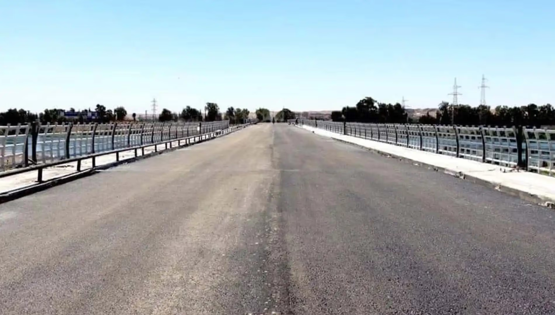
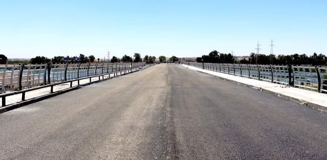
Documented recovery is unusually strong by national comparison. The World Bank report estimates that about 37.5 per cent of Ar-Raqqa's damaged asset value had already been reconstructed by 31 December 2024, and calls this an exceptionally high value (Table 9). For the city it records 5,082 buildings reconstructed, 3,109 repaired and 140 showing a reduction in damage as of 24 July 2023, citing REACH (2024); the earlier REACH and UNOSAT assessment of April 2021 had already detected 7,104 structures, 53 per cent of those detected, as reconstructed or rehabilitated. On bridges specifically, OCHA's situation report of 3 February 2026 states that damaged infrastructure in Ar-Raqqa Governorate is starting to be repaired, including the temporary rehabilitation of a bridge connecting Ar-Raqqa city with Tabqa and southern areas — work described as under way rather than complete, and the report does not name the structure.
.svg)

.png)