.avif)
Find & Read
No items found.
.svg)
Bio
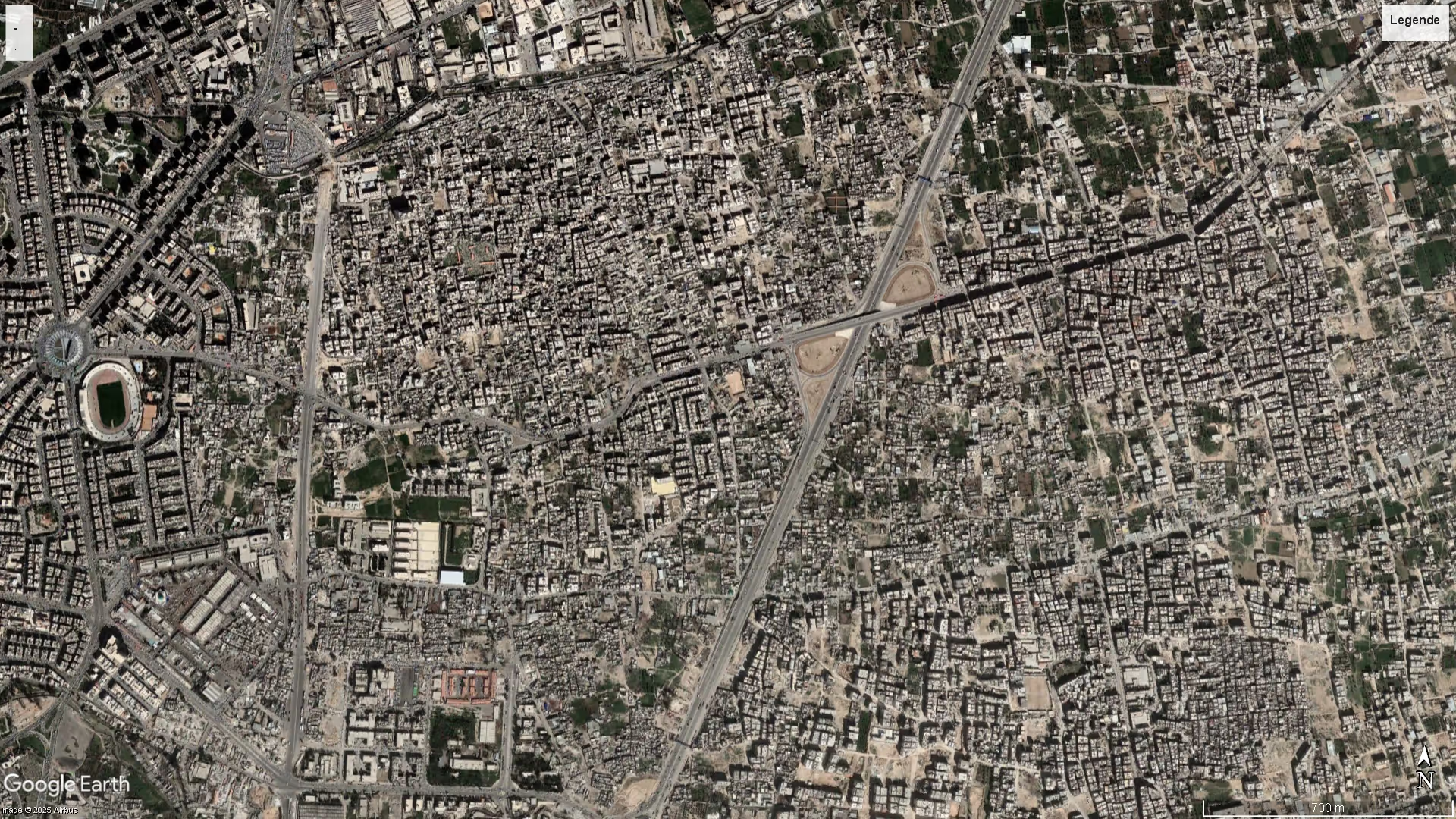
Jobar lies on the eastern edge of Damascus city, where the capital meets the farmland belt of Eastern Ghouta, adjoining the neighbouring districts of Qaboun and Al Masani. Once an agricultural suburb, it grew over the twentieth century into a dense residential and commercial quarter of apartment blocks, offices, shops, schools and mosques, and carried one of the capital's larger concentrations of small workshops and trade premises, mosaic craft among them. No institutional population figure for the neighbourhood on its own is currently available.
Jobar also holds heritage of long standing: its historic mosque, and the Eliyahu Hanavi synagogue, among the oldest in Syria and a pilgrimage site for centuries. Its position on the seam between central Damascus and the Ghouta gives it a structural role in any Damascus-area recovery programme, since the routes, utilities and housing stock that link city and suburb run through it.
Damages
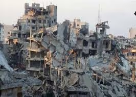
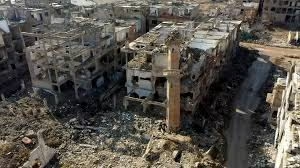
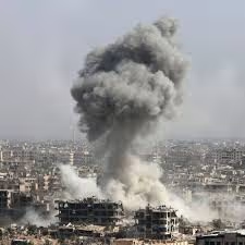
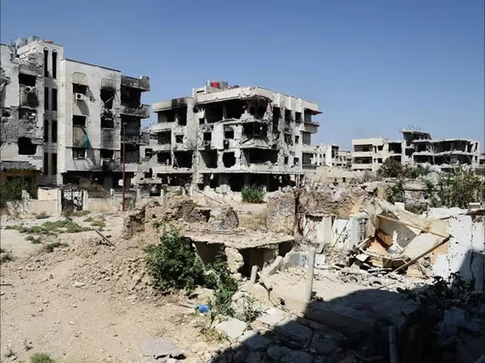
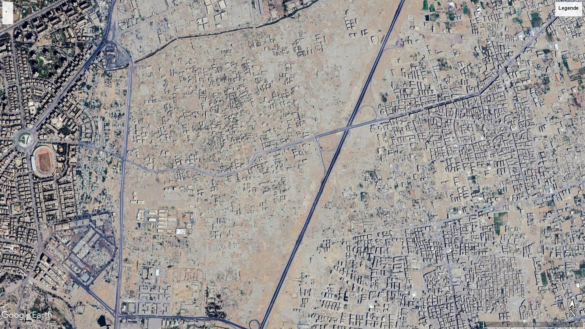
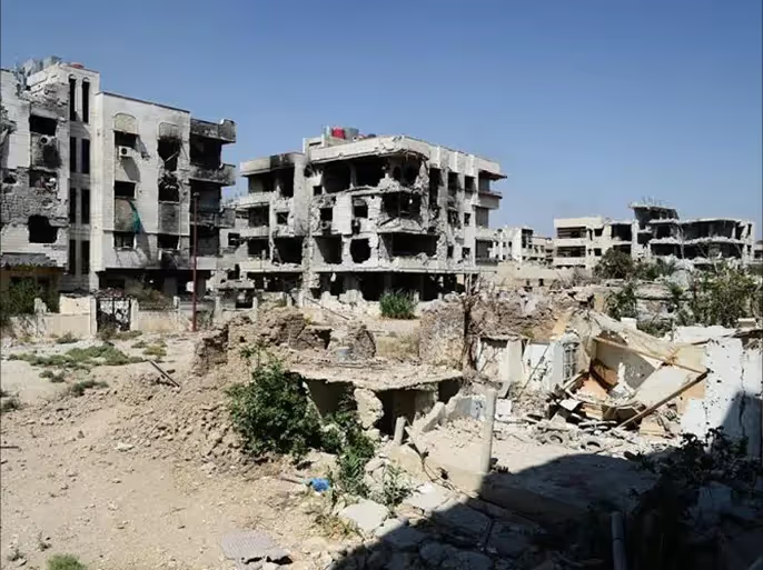
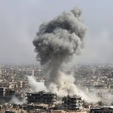
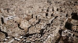
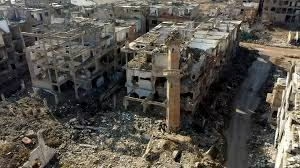
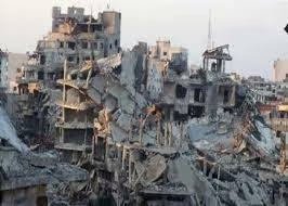
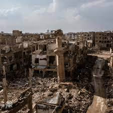
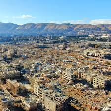
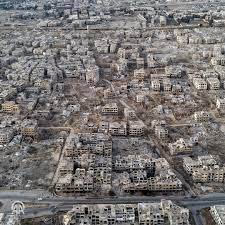
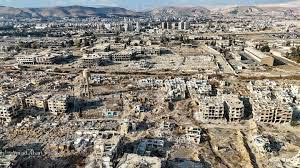
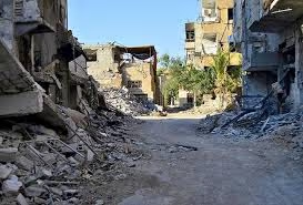
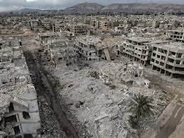
Jobar is among the most heavily damaged urban areas assessed in Syria. The Syrian Cities Damage Atlas published by REACH Initiative and UNOSAT (2019) records that, as of 3 December 2017, 93 per cent of structures in Jobar neighbourhood were damaged or destroyed. The same atlas finds damage density highest in Jobar of all the neighbourhoods it assessed on the eastern Damascus fringe, at 14.8 buildings damaged or destroyed per hectare, against an average of about five per hectare across the surrounding suburbs.
Service infrastructure was recorded as out of use in the same period. The REACH and UNOSAT neighbourhood assessment (published 30 January 2018) notes that all educational facilities closed in March 2017, with primary schools reopening only briefly that May; that the only medical provision available from June 2016 until assessments ended in August 2017 was informal emergency care points; that access to the water network ceased in August 2017; and that the electricity network had been inaccessible throughout the assessment period. The atlas describes the neighbourhood as emptied of residents, with almost all buildings destroyed.
Recovery figures specific to Jobar have not been published. At governorate level, the World Bank Group and GFDRR assessment (2025) values total damage in Damascus city at 28.6 per cent of total exposed asset value, puts total reconstruction cost at US$9,018 million, and estimates that roughly 12.5 per cent of the value of damaged assets had already been reconstructed by 31 December 2024 — a figure covering the whole of Damascus city, not the neighbourhood alone.
.svg)

.png)