
.avif)
Find & Read
No items found.
.svg)
Bio
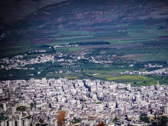
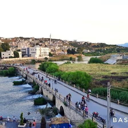
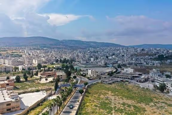
Jisr al-Shughur lies in the west of Idlib Governorate, where the Orontes River leaves the Ghab plain and the land begins to climb towards the Syrian coastal mountains. The town takes its name from the bridge that carries the historic road between the Mediterranean coast and Aleppo across the river, and it has served for centuries as a crossing point, a market for the surrounding countryside and the administrative centre of its district. At the 2004 national census it counted 39,917 inhabitants, within a district of 150,193 (Syrian Central Bureau of Statistics, 2004 census, published by OCHA).
Its character comes from that meeting of water, road and farmland. The irrigated fields of the Orontes valley and the rain-fed olive groves on the slopes above them make the town a collection and trading point for agricultural produce, while its position on the Latakia–Aleppo axis gives it a role in the movement of goods between the port cities of the coast and the interior. Together these give Jisr al-Shughur a size and a function larger than its population alone would suggest: a district capital whose services, markets and transport links serve a rural hinterland many times its own number.
Damages
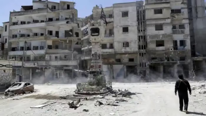
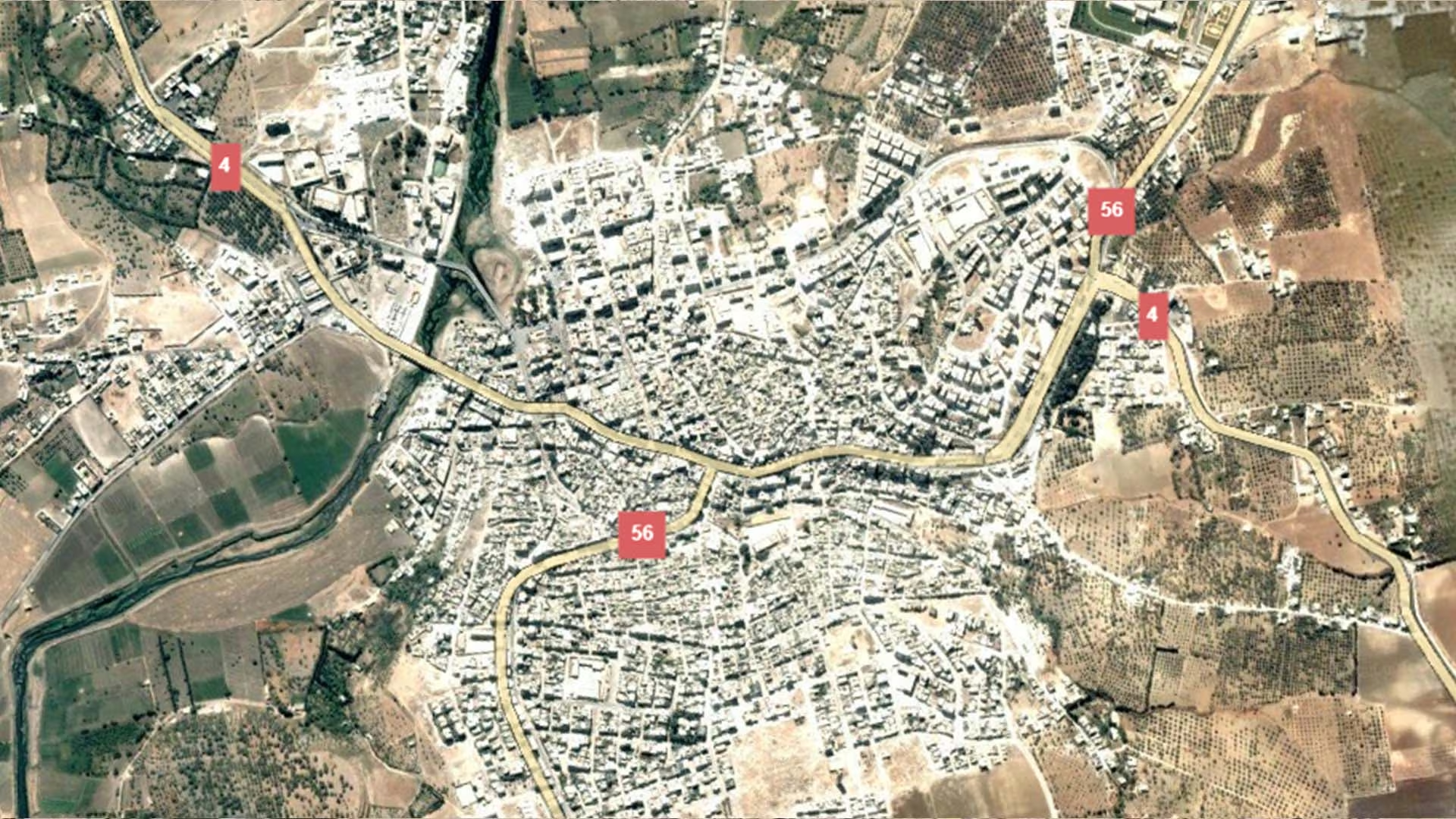
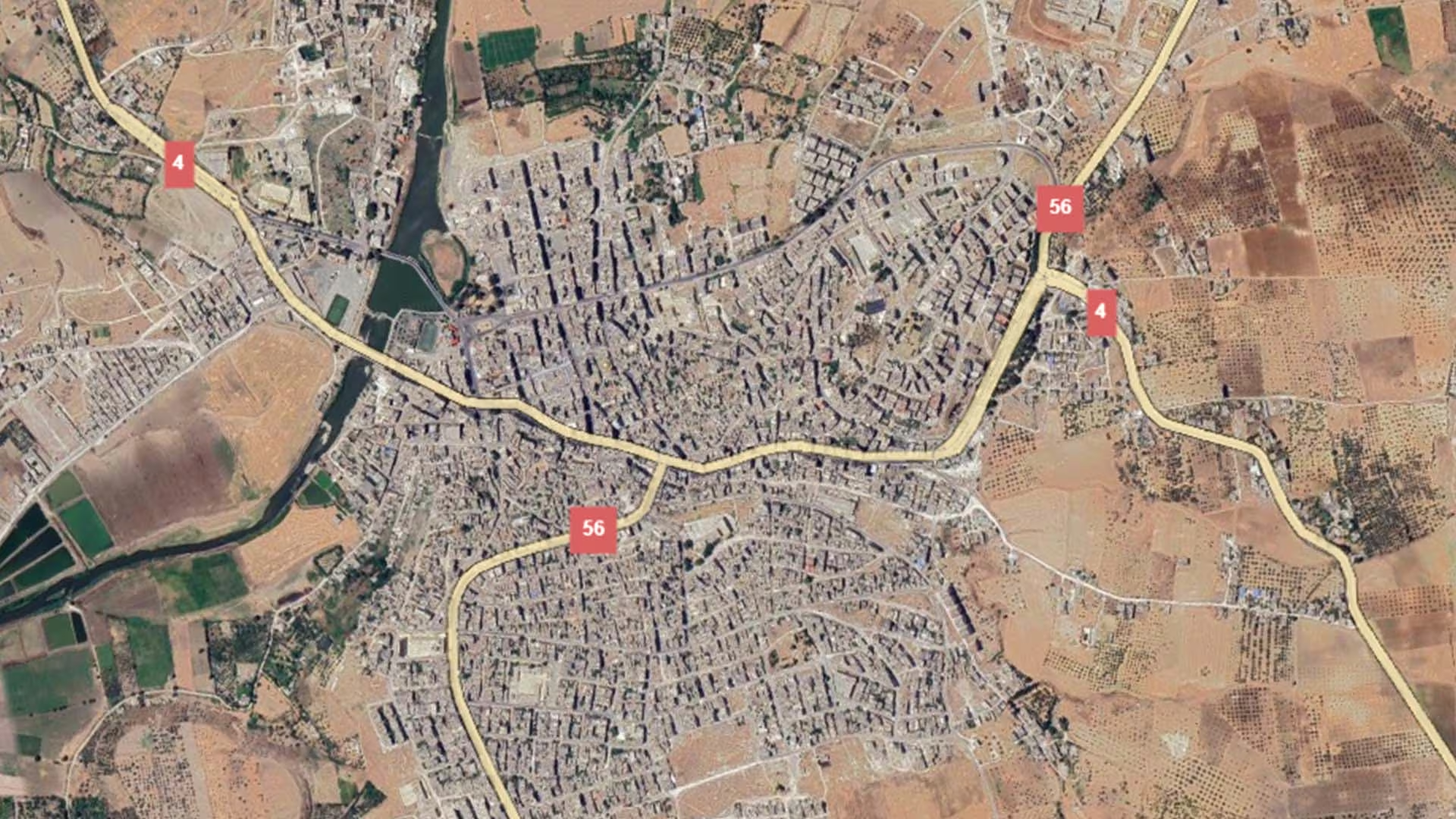
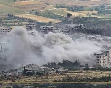
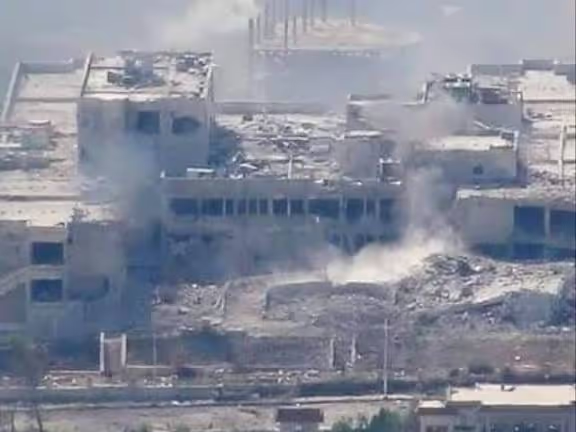
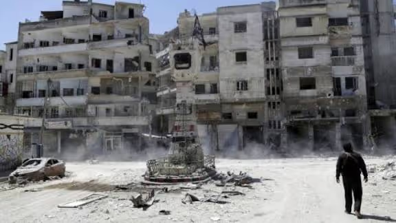
The institutional record of physical damage in Jisr al-Shughur is thin, and what exists measures a single event. Following the earthquake of 6 February 2023, the United Nations Satellite Centre (UNOSAT) analysed a very high-resolution Pléiades satellite image of the town acquired on 9 February 2023 and identified 75 damaged or potentially damaged structures within the area analysed (UNOSAT, 2023). UNOSAT states that this is a preliminary analysis that has not been validated in the field.
At the wider scale, the World Bank's 2025 physical damage and reconstruction assessment records that Aleppo and Idlib were the governorates hardest hit by that earthquake, with median damage of about US$1.9 billion in Idlib and about US$2.3 billion in Aleppo, together some 80 per cent of the national total (World Bank, 2025, citing its 2023 rapid damage and needs assessment). These are governorate-level figures covering all of Idlib; they are not a measurement of Jisr al-Shughur itself.
Beyond the 2023 earthquake footprint, no structure-level assessment of the town published by a United Nations body or the World Bank was identified. Nor was any documented rehabilitation or reconstruction programme specific to Jisr al-Shughur found in the institutional record at the time of writing. Any figure quoted for the town's overall damage share, or for the condition of its housing, water or road network, would therefore rest on estimates that no published assessment currently supports.
.svg)

.png)