.avif)
Find & Read
No items found.
.svg)
Bio
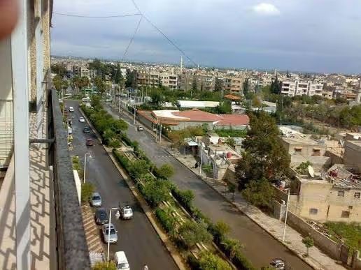
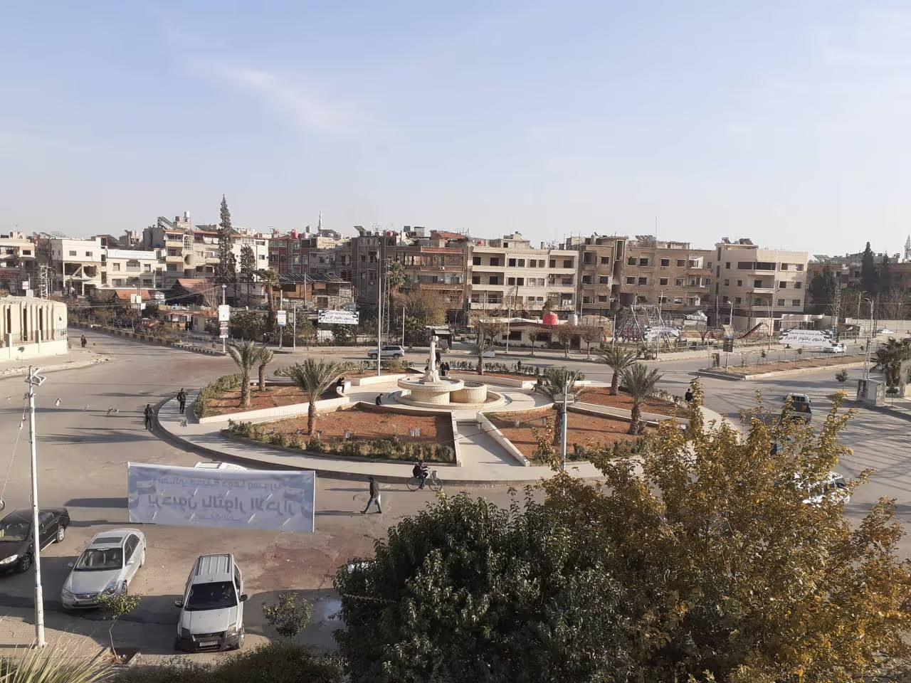
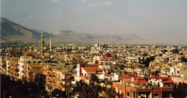
Douma is the largest urban centre of Eastern Ghouta and the administrative seat of Douma District, in Rural Damascus Governorate, some ten kilometres north-east of the capital. OCHA's Rural Damascus Governorate Profile (June 2026) describes the governorate as comprising nine districts and 36 sub-districts, and names Douma among its key population centres alongside Darayya and Qatana; the same profile puts the total population of the governorate at 3.8 million. Douma's economic role has always been tied to that proximity: a market town where the produce of the Ghouta was gathered, traded and moved into Damascus.
The wider setting is agricultural. OCHA (2026) notes that agriculture remains a key livelihood source in the governorate, particularly in areas such as Eastern Ghouta, whose orchard belt surrounds the city. Douma itself is a compact urban core built around a central souk and the Great Mosque of Douma, with the Al Katifani Market nearby — landmarks used as reference points in the UN Satellite Centre's 2015 assessment of the city. The REACH/UNOSAT Syrian Cities Damage Atlas (2019) likewise identifies Douma as the largest urban centre of Eastern Ghouta.
Damages
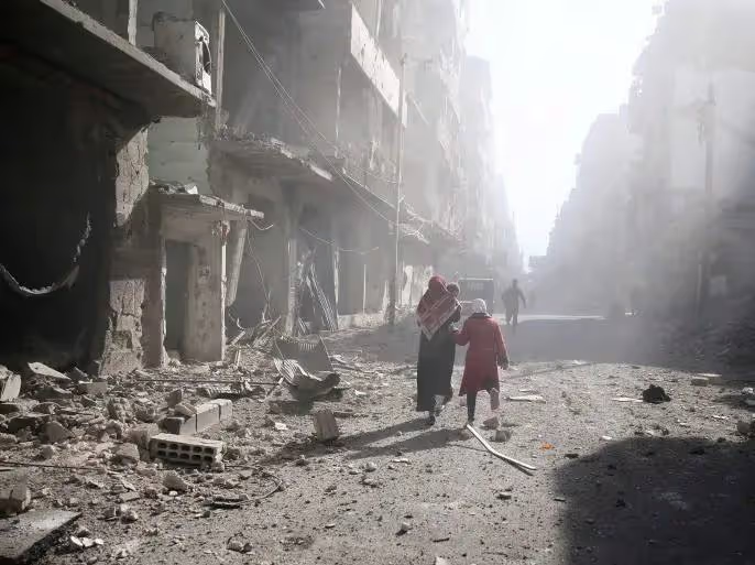
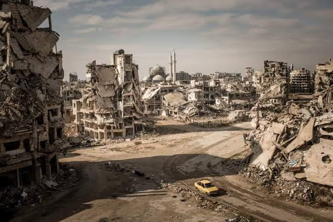
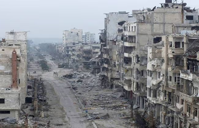
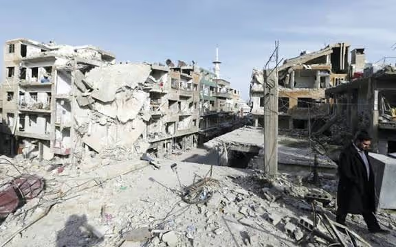
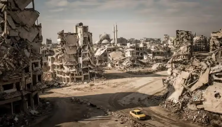
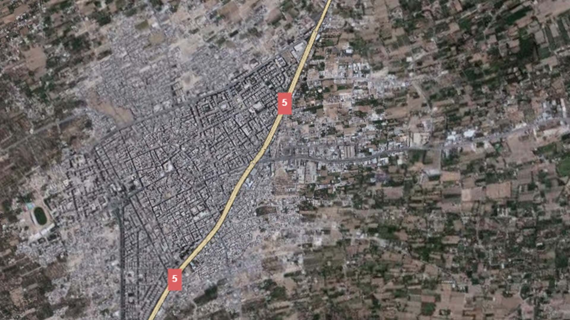
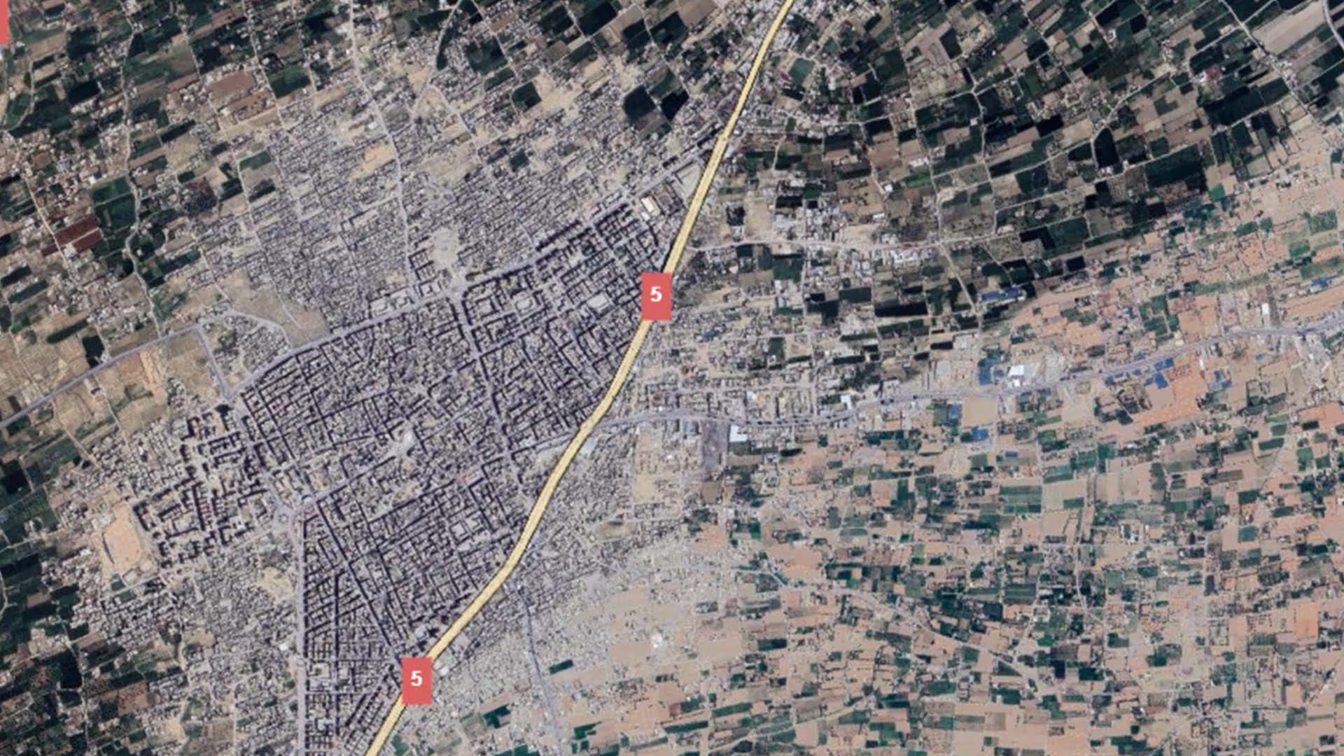
The only assessment devoted to Douma alone is qualitative. The UN Satellite Centre (UNOSAT) reviewed the city in its damage assessment of 1 September 2015, comparing Pléiades satellite imagery of 28 December 2014 with imagery of 29 August 2015. It reported numerous severely damaged buildings in the city centre, close to the Great Mosque of Douma and the Al Katifani Market, together with several destroyed buildings in the same central area. The assessment publishes no building counts, and UNOSAT describes it as preliminary and not validated in the field.
The measured counts that exist are regional rather than municipal. The Syrian Cities Damage Atlas published by REACH Initiative with UNOSAT (2019), drawing on satellite imagery of April and September 2018, records 34,136 buildings damaged or destroyed across the Eastern Ghouta assessment footprint — a footprint that names Douma among some twenty localities, alongside Harasta, Misraba, Arbin, Zamalka, Kafr Batna and others. The same atlas states that, on average, 5 buildings per hectare are classified as damaged or destroyed within the Eastern Ghouta suburbs, rising to 7–14 buildings per hectare in the five most damaged neighbourhoods, and notes that the lower density compared with other Syrian cities is likely a result of lower overall building density in a suburban setting. No published institutional assessment breaks out a figure for Douma city on its own.
The most recent measurement is at governorate level. The Syria Nationwide Housing Damage Assessment by REACH Initiative, the Shelter Cluster and UNHCR (published January 2026, data collected October–December 2025) reports that across 55 assessed communities in Rural Damascus, 67 per cent of damaged housing stock is repairable while 33 per cent requires full reconstruction — the highest reconstruction share of any governorate in the assessment. On the recovery side, OCHA (June 2026) describes Rural Damascus as one of the principal destinations for return movements in Syria, recording 216,345 refugee returnees between 8 December 2024 and 18 June 2026 (UNHCR), and 150,224 IDP returns to the governorate between December 2024 and 31 May 2026 (IOM Displacement Tracking Matrix). OCHA notes that returnees face damaged housing and limited access to water, sanitation, healthcare, education and electricity, which is where the near-term reconstruction demand sits.
.svg)

.png)