
.avif)
Find & Read
No items found.
.svg)
Bio
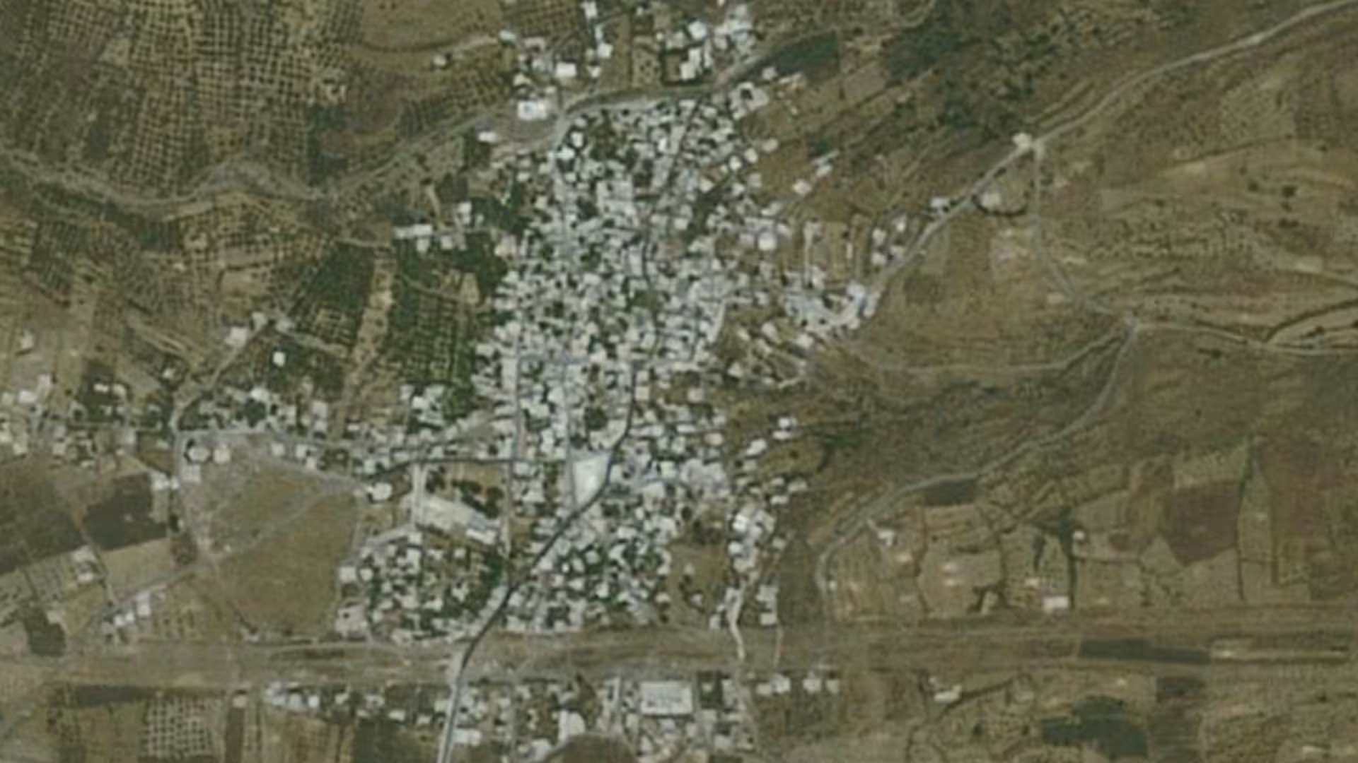
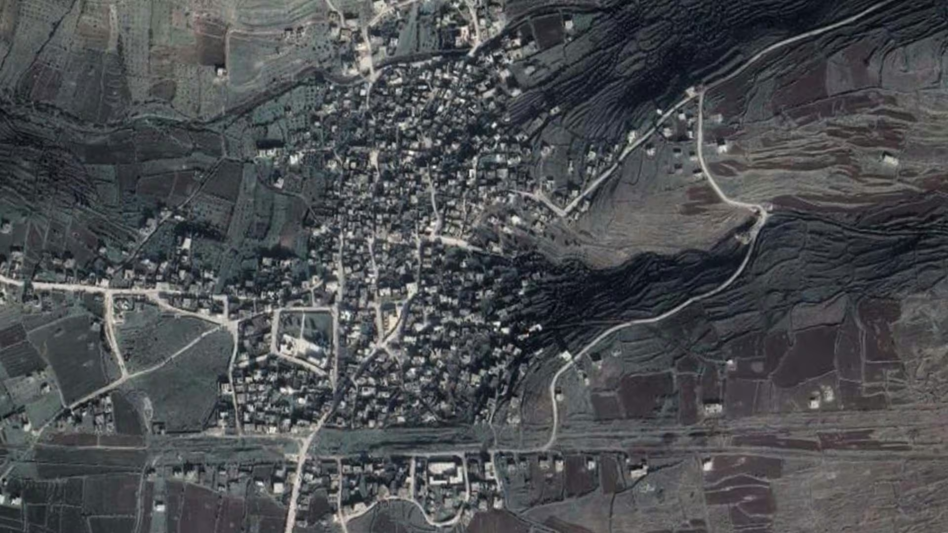
Al-Zara is a rural locality in the west of Homs Governorate, recorded in Syria's official population statistics under the district of Tall Kalakh (administrative code SY0403), whose centre lies a short distance to the south. It sits in the belt of farming villages that spreads west of the city of Homs towards the coastal range, on the corridor that has long carried movement and trade between the interior plain and the sea.
Its population was 4,336 at the 2004 General Census of Population and Housing, the figure carried in the community-level dataset published by the UN Office for the Coordination of Humanitarian Affairs. That places Al-Zara among the larger of the forty localities that make up the Tall Kalakh sub-district — a settlement big enough to hold its own schooling, water supply and local market functions, rather than a hamlet dependent entirely on the district centre. Its economy is that of its surroundings: cultivated land, livestock, and the services that gather in a village of that size.
Damages
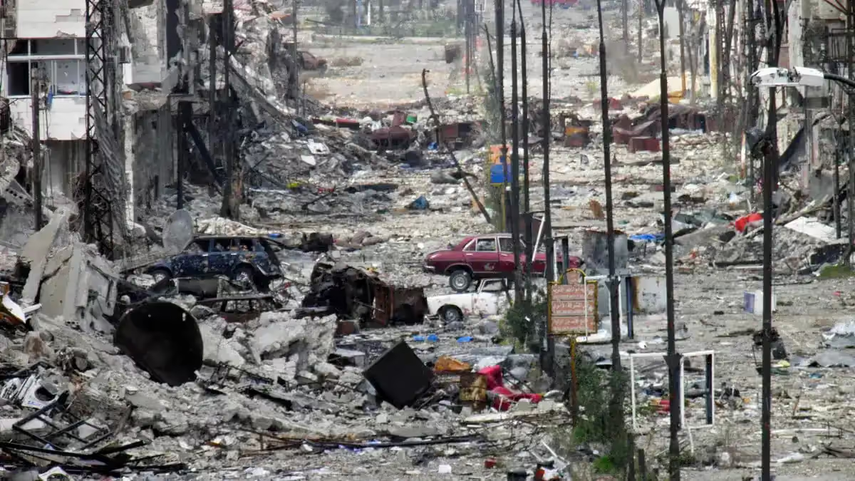
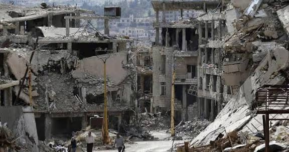
No damage assessment published for Al-Zara specifically could be located in the institutional record. The bodies that produce building-level damage figures for Syria — the UN Satellite Centre (UNOSAT), UN-Habitat, REACH and the assessments circulated through ReliefWeb — have published material for Homs Governorate and for the city of Homs, but a search of ReliefWeb's archive returned no report covering Tall Kalakh district or Al-Zara. A governorate or city figure cannot be carried across to a village of a few thousand people, and none is reproduced here.
The same applies to recovery. No documented rehabilitation project, service restoration or return figure attributable to Al-Zara by an institutional publisher was found. The verified record for this locality therefore consists of a single anchor: the 2004 census population of 4,336, which remains the baseline against which any future assessment would be read.
This entry will be extended when locality-level figures are published. Until then, the platform prefers to state the gap rather than fill it with numbers drawn from a wider geography.
.svg)

.png)