
.avif)
Find & Read
No items found.
.svg)
Bio
The Al-Mayadin bridge is the road crossing of the Euphrates at Al-Mayadin, in the south-east of Deir-ez-Zor Governorate. It ties the right bank of the river — the Shamiya side, on which the town itself stands — to the left bank, the Jazira side, and its position on the river is fixed on the topographical sheet of Al Mayadin published by FAO and iMMAP in 2015. The crossing sits on the stretch of the Euphrates corridor that runs downstream from Deir-ez-Zor city towards Al-Bukamal and the Iraqi border.
That corridor is what gives the structure its economic weight. OCHA describes Deir-ez-Zor in its Governorate Profile of June 2026 as the country's second-largest governorate by area and as a strategic corridor linking north-eastern Syria with Iraq and regional trade routes, with the Euphrates itself remaining a critical source of water for domestic use, agriculture and livestock. Fixed crossings along this reach are few, so each one carries a disproportionate share of the movement of goods, farm output and people between the two banks.
Damages
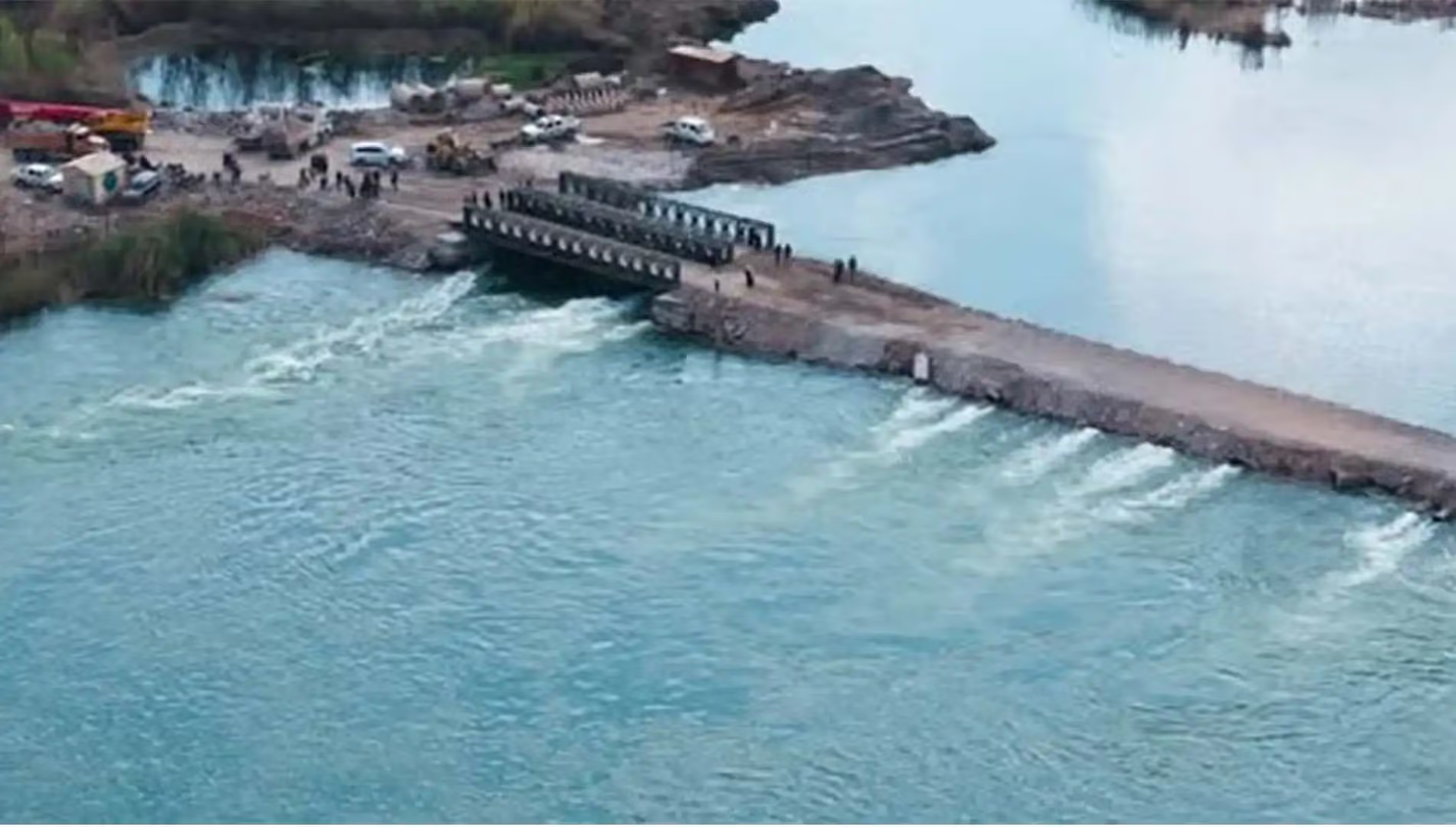
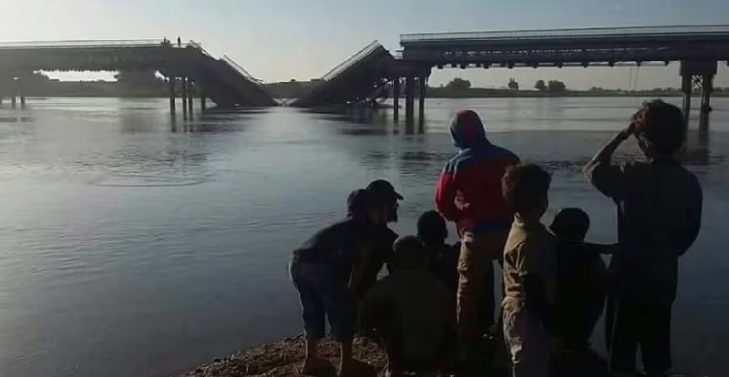
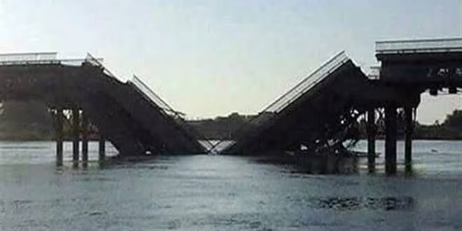
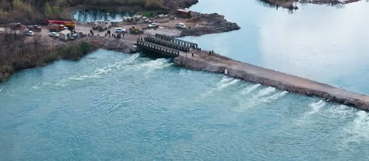
The documentation available for this particular structure is thin. No damage assessment dedicated to the Al-Mayadin bridge was found in the institutional record consulted for this entry, and what exists is described at governorate level rather than structure by structure. In its Humanitarian Situation Report on the Euphrates flooding of 8 June 2026, UNICEF states that critical infrastructure has sustained extensive damage and that several bridges and river crossings have collapsed or are inaccessible, severely disrupting humanitarian and commercial access between the two banks of the river — a description covering the Euphrates communities of Deir-ez-Zor, Raqqa and Aleppo governorates.
The same UNICEF report gives the scale of that flood episode as of 7 June 2026: 17,000 people directly affected, 700 families displaced, around 20,000 dunums of agricultural land flooded, and 49 water treatment plants out of service in Deir-ez-Zor and Raqqa governorates. These are figures for the flooding across the river corridor, not for any single crossing.
On recovery, OCHA's Deir-ez-Zor Governorate Profile of June 2026 places infrastructure rehabilitation among the governorate's principal humanitarian needs, alongside service delivery and return dynamics, and notes infrastructure limitations and mobility constraints as conditions shaping the operating environment. No verified institutional record of rehabilitation works on the Al-Mayadin crossing itself was located; until such a record is published, any statement about the state of the bridge today should be treated as unconfirmed.
.svg)
.png)