.avif)
Find & Read
No items found.
.svg)
Bio
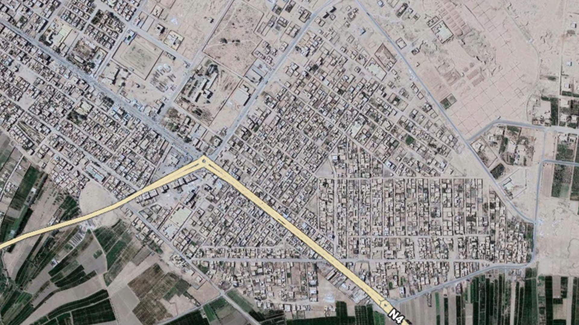
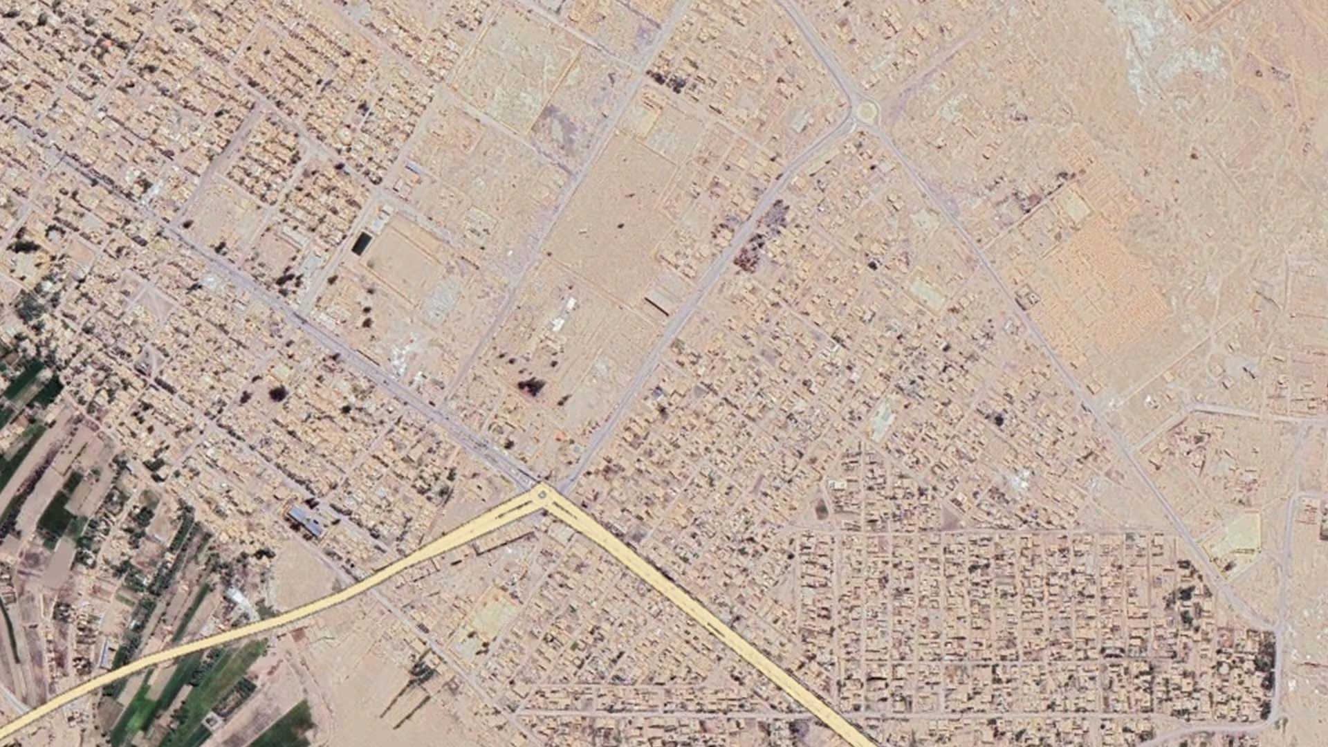
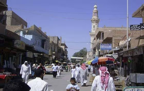
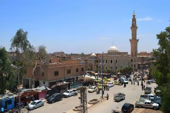
Al-Bukamal (Abu Kamal) lies on the Euphrates in the far east of Deir-ez-Zor governorate, on Syria's international border with Iraq, and gives its name to one of the governorate's sub-districts. OCHA's Deir-ez-Zor Governorate Profile (June 2026) records that the governorate covers some 33,660 square kilometres and is administratively divided into three districts, 14 sub-districts and 198 communities, and describes it as a strategic corridor linking north-east Syria with regional trade routes, and, before the crisis, a key agricultural, livestock, energy and trade hub.
The town's setting shapes its economy: the Euphrates, which OCHA notes remains the governorate's primary source of water for domestic use, agriculture and livestock, supports farming along both banks. Upstream in the same river valley stands Dura Europos (Tell al-Salihiyah), a walled Hellenistic and Roman city founded in 303 BC. UNITAR-UNOSAT's cultural heritage assessment (2014) records that the city alone covers some 75 hectares excluding its necropolis, that less than a third to a half of it has been excavated, and that it was placed on Syria's World Heritage Tentative List in 1999 and resubmitted in 2011 as a joint property with the site of Mari.
Damages
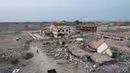
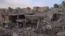
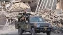
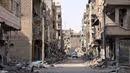
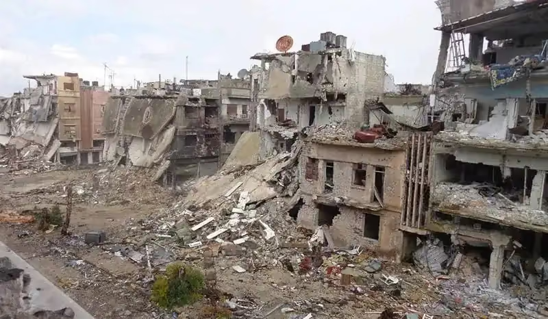
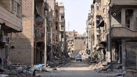
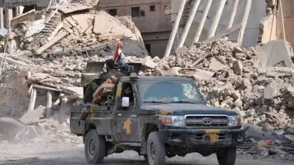
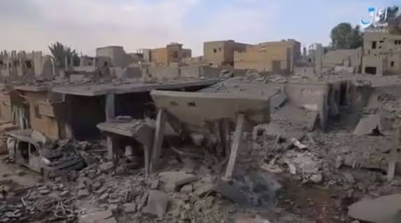
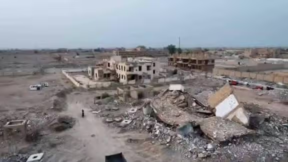
The most recent institutional measurement at sub-district level comes from REACH's Northeast Syria Needs Update: Deir-ez-Zor Governorate Profile (August 2026), based on 1,122 households surveyed across 152 communities in the governorate's 14 sub-districts, 49 of them in the Abu Kamal sub-district. REACH reports that 55% of households in Deir-ez-Zor reported shelter damage, and that among affected households 21% in Abu Kamal reported severe damage or complete destruction of their shelter, compared with 11% governorate-wide. Across the governorate, the cost of labour (90%) and of construction materials (31%) were cited as the main barriers to repairing damaged shelters.
In education, REACH records that 24% of households in Abu Kamal reported that children attended school in acceptable conditions, with overcrowded classrooms (81%) and a lack of school furniture (78%) cited as the primary constraints in the sub-district. On the heritage side, UNITAR-UNOSAT's 2014 satellite assessment of Dura Europos documented thousands of illicit excavation holes between two and four metres in diameter across the city and the surrounding necropolis, estimated at roughly three metres deep in 2013 and five to six metres in 2014; the assessment examined 15 key buildings in addition to the dig house, the museum and the city walls.
REACH's August 2026 findings also point to early signs of recovery at governorate level, uneven across sectors and sub-districts. Household connection to the main electricity network in Deir-ez-Zor rose from 39% in October 2025 to 58% in May 2026, and the proportion of households reporting that children attended school in acceptable conditions rose from 53% to 73%. Abu Kamal records a median daily electricity availability of 15 hours, against a governorate-wide median of 6 hours.
.svg)

.png)