
.avif)
Find & Read
No items found.
.svg)
Bio
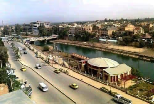
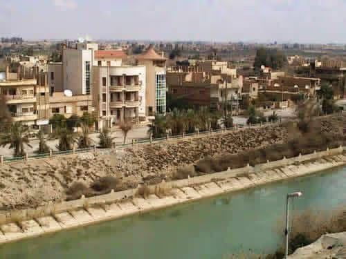
Deir ez-Zor city is the administrative centre of Deir ez-Zor Governorate and the largest urban centre in eastern Syria. It stands on the Euphrates, the river that remains the governorate's principal source of domestic water, irrigation and livestock watering, and it anchors the corridor linking the north-east of the country with the Iraqi border and regional trade routes. According to OCHA's governorate profile (June 2026), the governorate covers approximately 33,660 square kilometres — the second largest in Syria by area — hosts approximately 1.2 million people, and is divided into three districts, 14 sub-districts and 198 communities.
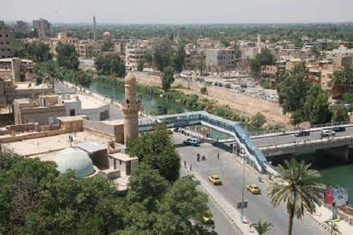
Before the crisis the governorate was, in OCHA's words (June 2026), a key agricultural, livestock, energy and trade hub contributing significantly to Syria's economy, with the city serving as its market, service and administrative core. The Euphrates and its bridges define the city's internal geography and its links to the surrounding countryside; OCHA (June 2026) documented a bridge collapse caused by flooding of the river. The World Bank's joint damage assessment (2022) also recorded the city's railway station, historically part of the line running towards Al Hasakah, as appearing non-operational and significantly deteriorated.
Damages
The World Bank's joint damage assessment of selected Syrian cities (2022) put Deir ez-Zor's pre-conflict housing stock at over 48,000 units, of which up to 8,000 had been impacted — 16 per cent of the stock — with the cost of housing damage estimated at US$78–95 million. The same assessment recorded that 35 per cent of housing units in the city lack permanent records and fall under the informal category, including 4 per cent squatters and 4 per cent holding temporary records, a factor it identifies as constraining reconstruction.
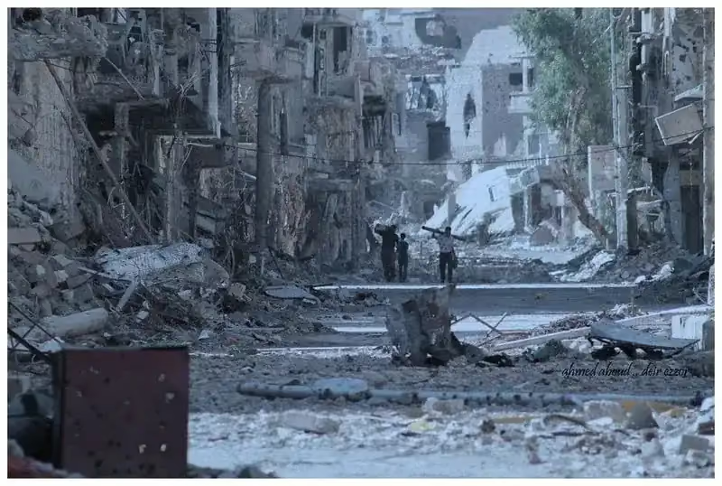
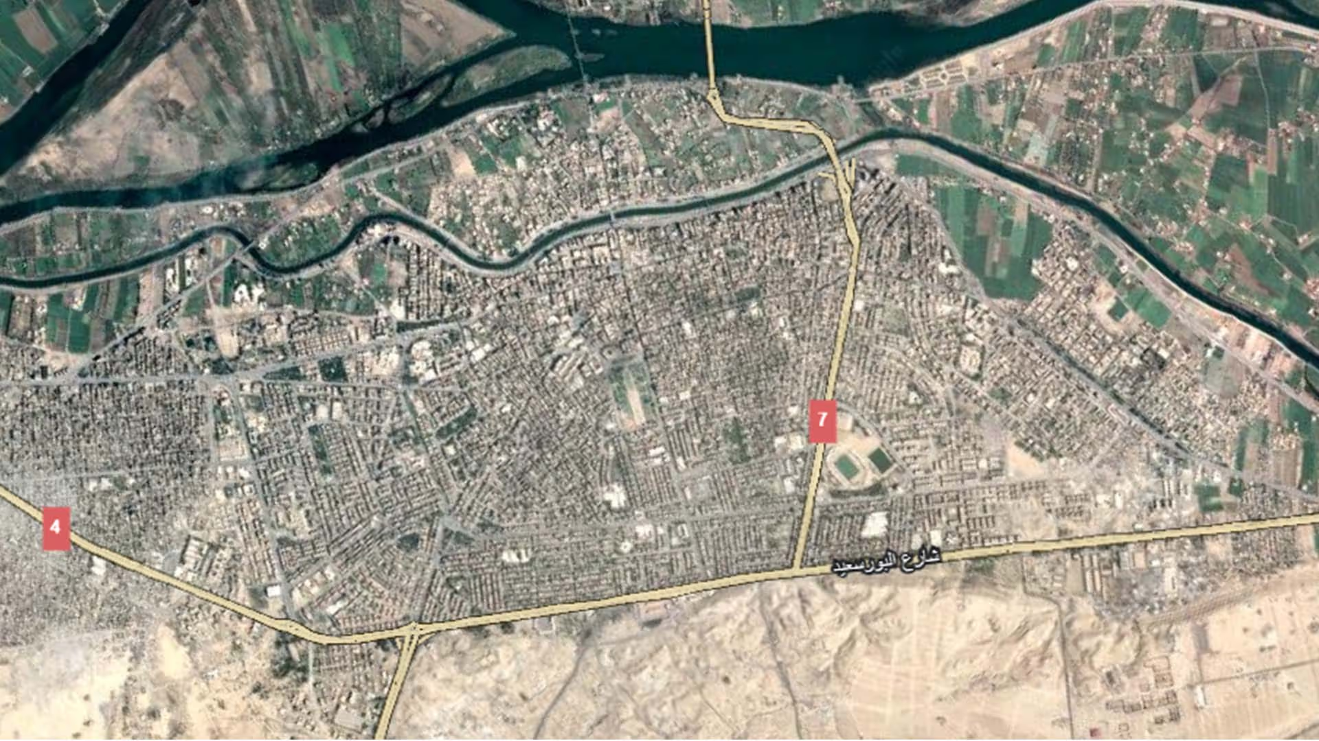
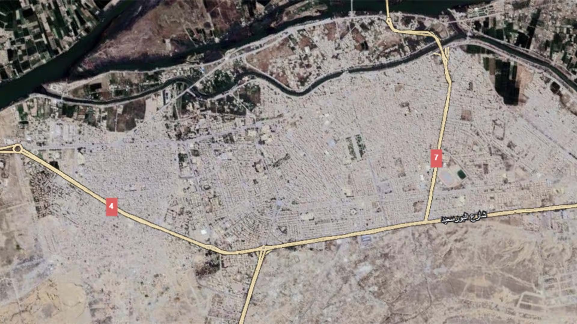
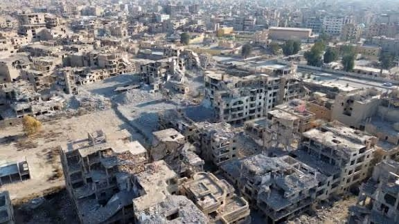
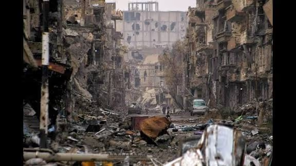
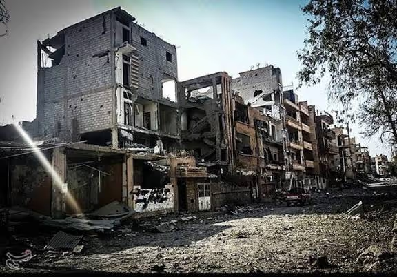
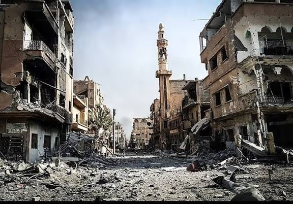
On infrastructure and services, the World Bank (2022) found damage to around 9 per cent of the city's road network, of which 33 per cent needs major repairs and 66 per cent maintenance, and to around 59 per cent of its bridges, 96 per cent of which need major repair. It estimated debris in the city at 144,620 cubic metres under its medium scenario, within a range of 95,166 to 245,370 cubic metres. Of 120 education facilities assessed, 45 per cent had been partially damaged (38 per cent) or fully destroyed (8 per cent); of 43 health facilities assessed, 16 were partially damaged and seven destroyed. An earlier satellite analysis by UNITAR-UNOSAT (imagery of 25 May 2016) identified 4,673 affected structures within a portion of the city — approximately 802 destroyed, 1,410 severely damaged and 2,461 moderately damaged — a preliminary analysis not validated in the field. More recently, OCHA (June 2026) reported that approximately 80 per cent of the city remains damaged or destroyed, with only a small number of neighbourhoods fully functional, and that an estimated 50,000 houses in the city and surrounding communities require rehabilitation and repair support.
Recovery work is documented. The Syria Recovery Trust Fund announced on 14 May 2026 the completion of the second phase of its housing and livelihoods project in Deir ez-Zor: 8,400 individuals from 1,400 households returned to fully rehabilitated homes, with structural repairs and the installation of doors and windows, electrical systems and water connections. In the same phase, 6,000 individuals from 1,000 households received home garden kits and specialised agricultural training, 300 individuals from 50 households received hydroponic kits with tailored training, and 3,000 individuals — 49 per cent of them women — took part in cash-for-work activities.
.svg)

.png)